File:Locator Thaylenah.png
Revision as of 19:59, 30 May 2018 by Otto didact (talk | contribs) (Otto didact uploaded a new version of File:Locator Thaylenah.png)
Size of this preview: 600 × 600 pixels. Other resolutions: 240 × 240 pixels | 1,800 × 1,800 pixels.
Original file (1,800 × 1,800 pixels, file size: 633 KB, MIME type: image/png)
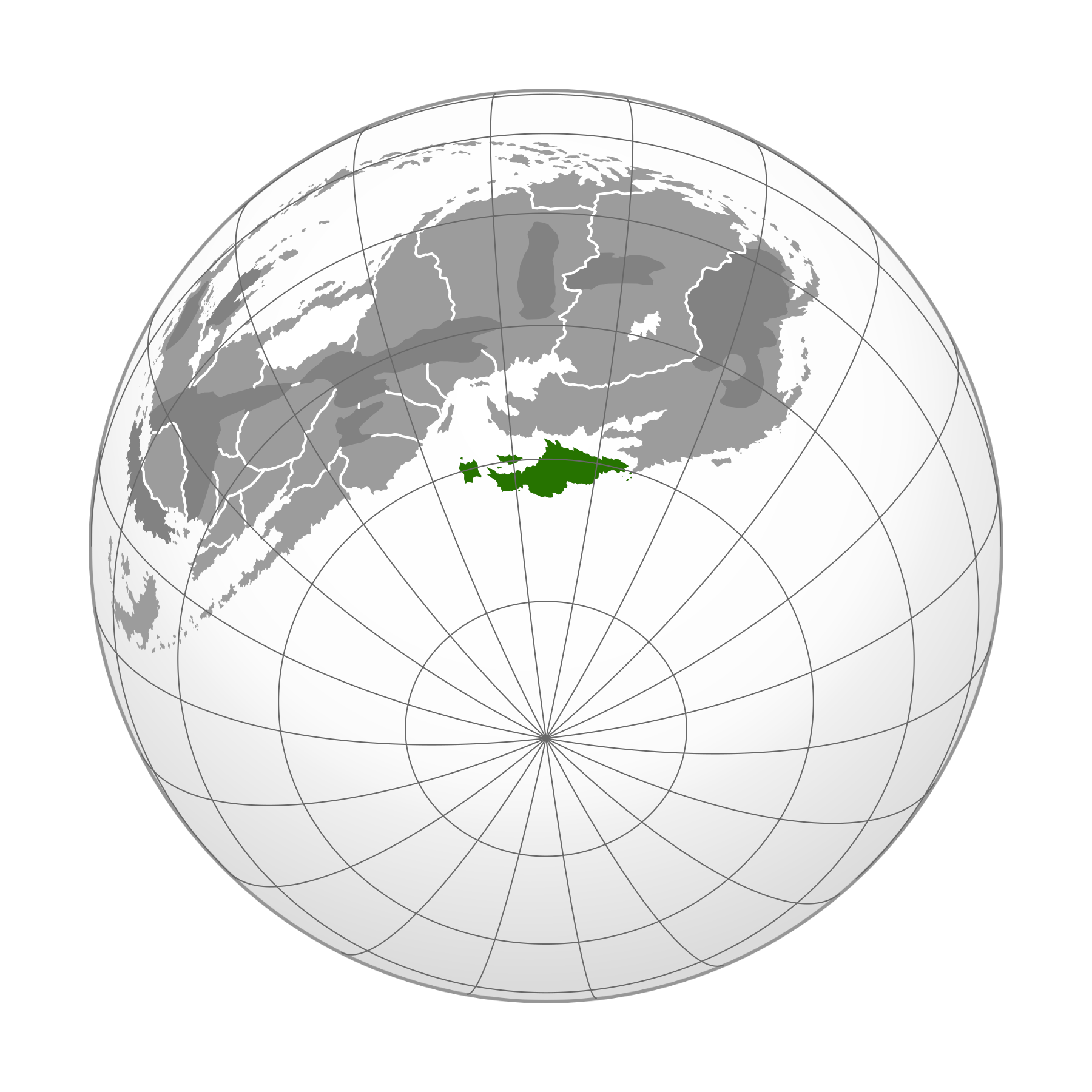
A globe showing the map of Roshar projected onto the surface and highlighting the nation of Thaylenah.
| Artist | User: Otto didact |
|---|---|
| Series | The Stormlight Archive |
| Source | Original work |
| File type | maps - maps of Roshar |
File history
Click on a date/time to view the file as it appeared at that time.
| Date/Time | Thumbnail | Dimensions | User | Comment | |
|---|---|---|---|---|---|
| current | 19:59, 30 May 2018 | | 1,800 × 1,800 (633 KB) | Otto didact (talk | contribs) | Fixed projection issue |
| 18:48, 29 May 2018 | 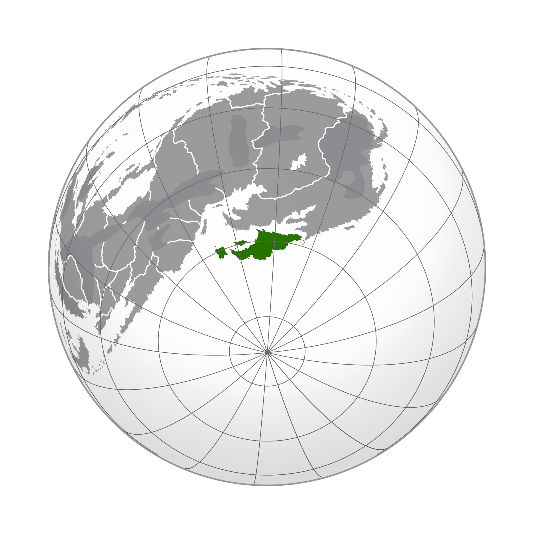 | 1,800 × 1,800 (604 KB) | Otto didact (talk | contribs) |
You cannot overwrite this file.
File usage
The following 2 pages use this file: